I have the picture in front of me now. The intrepid explorer in the foothills of the Himalayas – his yak in the background.
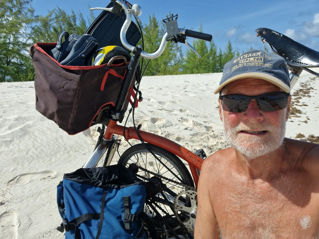
Actually, that’s not quite true. It’s just me on the beach, posing with my folding bike before setting off to ride around Anegada.
Anegada is the most northerly of the Virgin Islands and the only one that is not volcanic. Instead it is a real coral island – a tiny bit of limestone poked out of the sea and lots and lots of pure white coral sand piled on top of it. For the cyclist, this offers one massive advantage: it is completely flat.
Georgetown in Grenada has such a steep hill that they had to dig a tunnel through it – no mean feat 1800s. Most of the Caribbean is like that – up and down, rainforests and waterfalls.
Sailing from Virgin Gorda, the first thing you see of Anegada is the tops of the palm trees – and it’s only eight miles long unless you count the reef, which is most of it.
I pored over Google Maps. I could go clockwise, take my snorkel and flippers, start with Cow Wreck Bay, then the flamingoes on the 500 acres of shallow ponds. Down to East Point and Horseshoe Reef with its 300 shipwrecks – and that’s just the ones they know about.
Sixteen miles. I’ve done sixteen miles in a day before. Lunch in town or one of the beach bars…
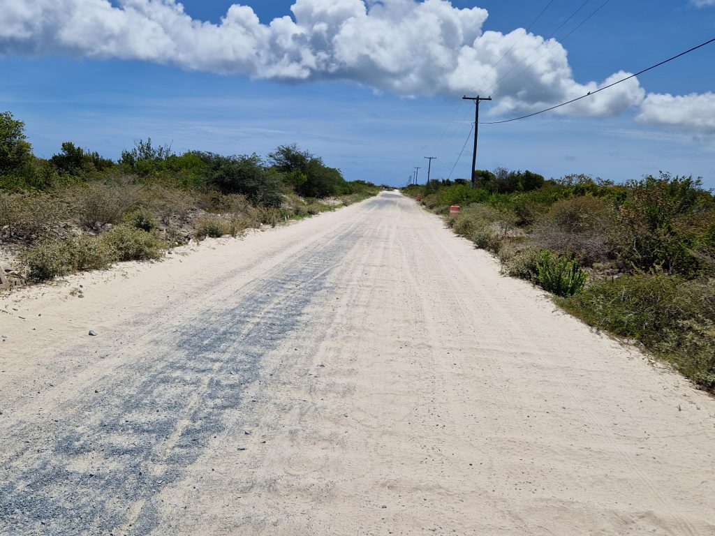
It turned out to be not quite as simple as that. For one thing, Anegada’s roads are slabs of concrete like an old wartime runway. At least there wasn’t much traffic. After an hour I concluded that the islanders (there are only 315 of them) possessed only two cars – although, one of them may have been the same car going the other way.
But then, turning the corner to the north side of the island, the concrete began to disappear under a layer of sand – and this was coral sand. There’s a difference: proper British sand comes in grains. You could count them if you had the patience. Coral sand is more like a powder, the consistency talcum or chalk dust. I got off and pushed the rest of the way to Cow Wreck Bay where I walked straight into the water – wonderful not having to dip your to in to see if it’s warm enough. The water here is always between 28°C and 30°C.
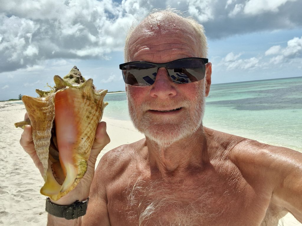
And, no sooner had I put my head under than I came up with a conch. Imagine that! I was as pleased as punch. I told the barmaid in the Tipsy beach bar. She said it was pronounced “conk”. She also told me that Cow Wreck Bay got its name from a shipwreck in the early 1900s. The ship was carrying cow bones to be made into buttons. For years, they kept washing up on the beach.
One other thing I learned at the bar of the Tipsy was that I wasn’t going to get any further along the north coast. Sure there was a road marked on the map – but it was all sand and rocks. I would need a jeep. Besides, if I went back the other way, I could see the flamingos from the Lookout Point.
Actually, I couldn’t. But then I am notoriously unobservant. I was the only one of the diving party in the Red Sea who didn’t see the shark.
I didn’t get down to Horseshoe Reef either. It turns out, the only way is by boat and I certainly wasn’t taking Samsara down there – not after what the pilot book said about “numerous coral heads and tricky currents”. Still, I could go to Fisherman’s Wharf which involves cycling along a series of narrow concrete causeways between more flamingo ponds (but without flamingoes).
I knew I was getting close by the piles of conch shells at every turn. This is a tradition started by the indigenous Amerindian people who would pile up the empty shells to create artificial islands. Suddenly my conch didn’t seem so impressive – but at least I put it back without hooking the poor little fish out of it and turning him into conch ceviche.
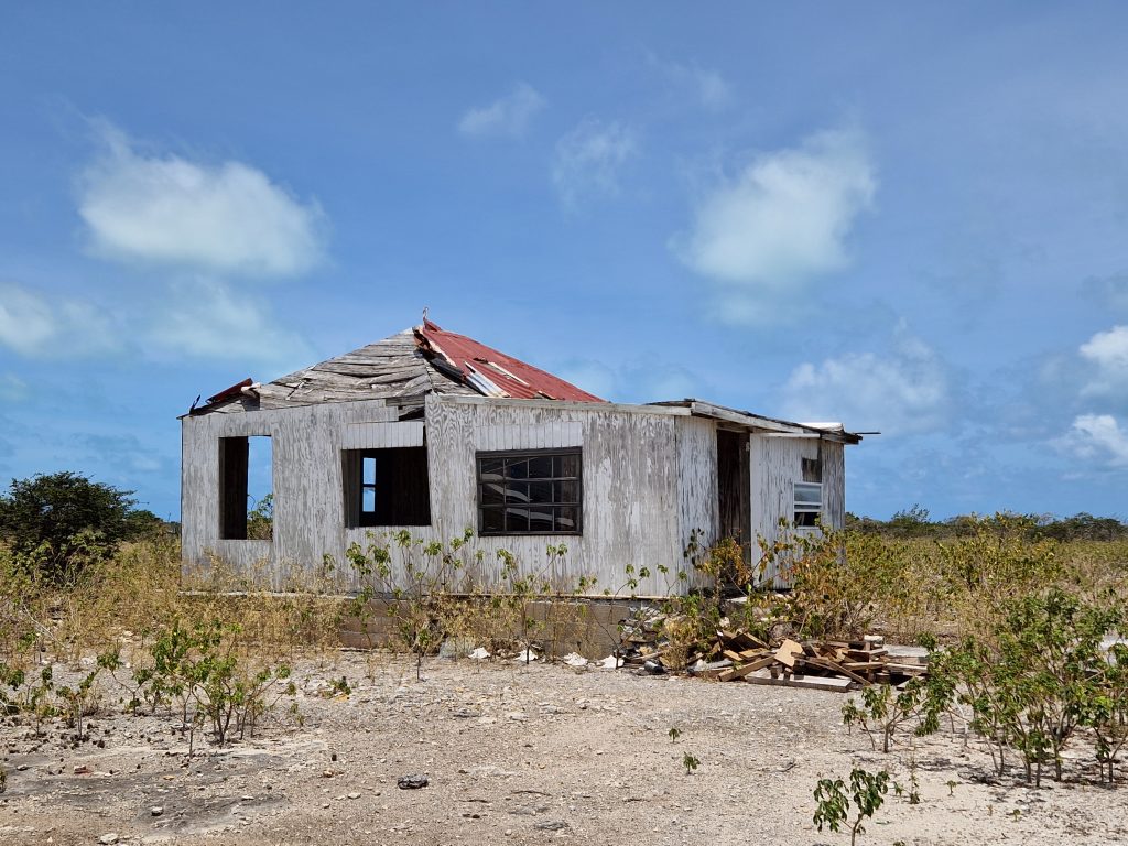
I hadn’t been round the island. I hadn’t even reached the end of it. There just wasn’t any more road. I turned back to town. Actually it’s called The Settlement and there isn’t much of that (how much can you expect with a population of 315). The Wonky Dog restaurant was closed – although there was the promise of happy hour, fresh lobster and live music later – and everywhere there were signs of what Hurricane Irma did to the place when she ran straight over it in 2017.
Hurricanes are not the only natural disasters the stalwart little population has to worry about. At intervals along the road were signs pointing to the Tsunami Evacuation Point – the highest point, even if it is only eight metres. After all, “Anegada” is the Spanish word for “Flooded”.
As I passed by the Flamingo Lookout for the second time, I was buzzed by a gaggle of scooters and yet another car. This was a party of Americans from Colorado who had chartered a catamaran and were “doing” the islands rather in the manner of the Hell’s Angels after a spell of Community Service.
I still couldn’t see any flamingos, although Moses told me there were about 1,500 of them on the far side. You could just see them through the telescope. I learned this – and the fact that his name was Moses – because he ended up giving me a lift the rest of the way, the roads having taken their toll on my back tyre.
So the expedition was a partial success – or a partial failure if you want to be despondent about it.
I chose to celebrate with lunch in Sid’s Beach Bar – but “Dinner Salad” rather than conch – ceviche or fritters.
Hi John, always enjoy your missives, is there a webpage showing your route over the last few years?
Hi Julian, I haven’t found a website that I can cope with – the last one kept placing me in the middle of South America. But I have added a timeline to the contact page of the blog: See https://www.oldmansailing.com/contact/
Enjoyed it. Sail on Sailor.